Tempest 24hr response 0845 052 4522
16 January 2018
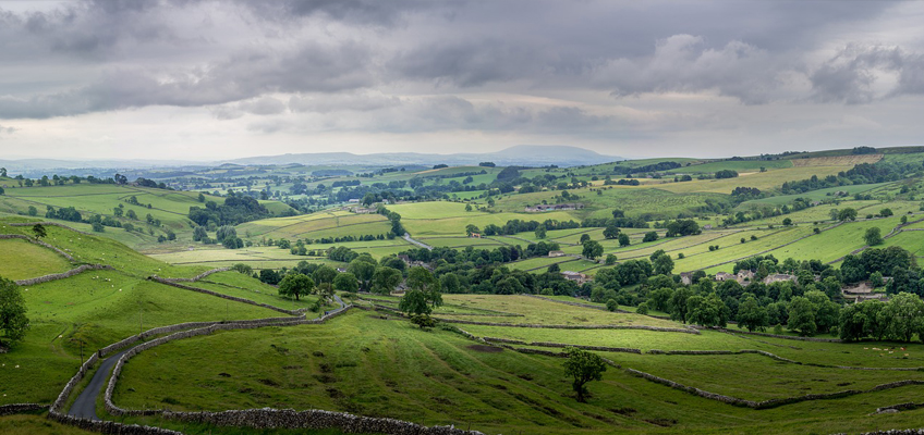
The Environment Agency has announced plans to map England’s entire landscape by 2020, using the data to assess flood risk and inform conservation work.
Using aircraft equipped with laser scanners, the Environment Agency will map all 130,000km2 of the country, including rivers, fields and national parks – equivalent to 32 million football pitches.
The new data will also be better quality than ever before, as the Environment Agency will map the whole country at 1m resolution by 2020. This means using the most up-to-date laser technology to reveal the features and details of the terrain more clearly.
Head Office
Unit 3 Jack Boddy Way Swaffham, Norfolk
PE37 7HJ
Phone: 0845 052 4522
General enquiries: info@tempestrestoration.co.uk
Tempest Restoration is registered in England and Wales, Number 03559516
Registered office: 19 King Street, Kings Lynn, Norfolk, PE30 1HB
© 2026 | Tempest Restoration | Terms | Privacy | Cookie Policy | Contact us | Website information & help
